AgriSense
__
Agri Sense, is a data collection system, consisting of a drone and a rover. The drone can quickly fly over fields and map them out, while the rover roams the farmland and collects precise physical data, providing the farmer with valuable information about both the soil and the crop. The rover’s AI can detect the presence of pests and diseases and helps the farmer to react quickly and keep them from spreading.
Contribution: Design and Strategy / Research / C.M.F. / Visualization / CAD / Prototyping / UX-IU
Academic project: Umeå Institute of Design
Team partner: Heinrich Zaunschirm
Duration: 12 weeks
2024
In collaboration with: Agile Robots, Germany


How to ensure future food demand can be met safely in the future?


early ideation
For the ideation process, we define the main components as a basis for the ecosystem: The Rover, the weather station, and the aerial input. Based on a defined architecture, we moved on to more complex solutions and the language we wanted to bring to it.
CAD exploration
Once we defined the proportions of interactions and language in the Rover, we translated this to the other components of the ecosystem.
Proof of Concept
In parallel, we build a 1:1 scale cardboard/wood mockup to validate function, interaction, scale, and proportion.

The autonomous data collection system Agri Sense can help farmers with practising precision farming by mapping out their fields with an intelligent drone, collecting precise physical data of soil and crop with an autonomous rover, and creating location-based data implementation strategies in an intuitive software. Measuring local weather data and monitoring plants also aids farmers in predicting and preventing pests and diseases.
Rover / land input

The rover's components are arranged in a way that keeps the overall shape slim and the center of gravity low, while still enabling it to go over crops up to 1.8 metres height.

The batteries are accessible from the side of the rover for automatic battery swapping.


The soil analysis tools are located in the bottom center to dissipate the forces from pushing sensors into the soil.
2. Robotic arm + Endeffectors


The end effector module houses different crop analysis tools and can be accessed by the robotic arm. Three end effects are stored in the Rover to capture and store vital data for further insights and improvements.
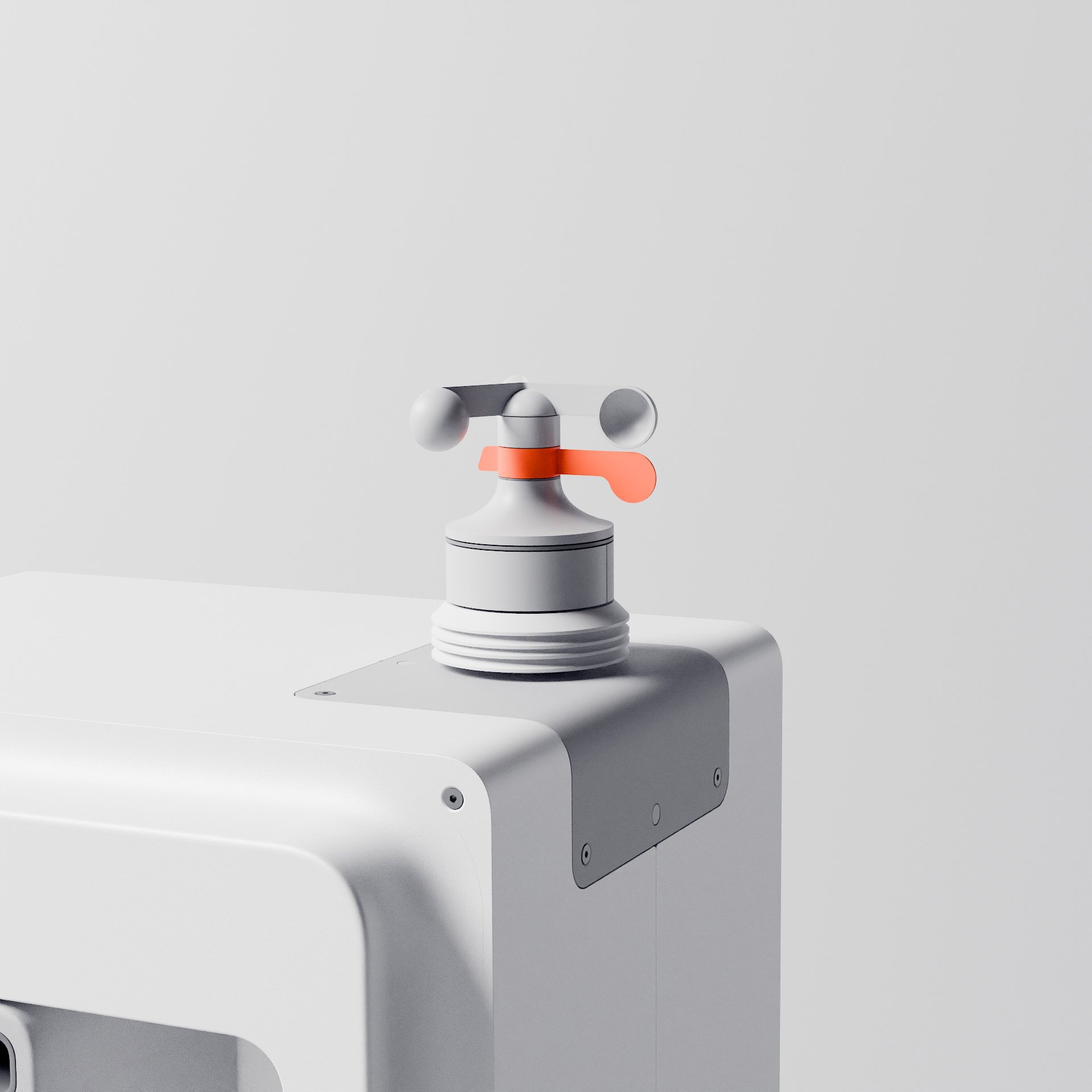
3. Weather Station

The station serves as a modular hub for automatically charging and swapping the batteries of the rover and the drone. The weather module of the station helps with predicting diseases, since the spreading of them is usually also dependend on weather.


4. Aerial Input


The drone can quickly fly over the fields and map them out. It can estimate certain crop data like nutrition using multispectral imaging , and it then divides the field into sections based on the collected data. The drone can be automatically charged and stored in a drone hub that can be attached to the station.
5. Interface exploration
The primary objective behind the exploration of the UX-UI interface for accessing data analysis and nutrients gathered by the smart farming ecosystem. The approach was to develop a user-centric platform that seamlessly facilitates access to critical information regarding the rover's operations and the analysis of its gathered data. This interface aims to provide users with an intuitive and efficient means of monitoring the rover's performance, understanding the outcomes of its data analysis, and ensuring optimal nutrient management for sustained operation.
